Kaghan is among the many beautiful valleys in the Mnsehra District of Hazara in the Khyber Pakhtunkhwa Province of Pakistan. This 160 KMs long valley is most popular summer holiday spot for both Pakistanis and foreigners. The valley features pine forests, alpine meadows, crystal clear lakes and cool mountain streams. Kunar river, the main feature of the valley, is famous for its trout fish. Along the banks of the river are the towns of Balakot, Paras, Mahandari, Kaghan and Naraan. You will find the locals very friendly and simple. An interesting nomad in the area are Gujar nomads. They take their herds of cattle to the high pastures of the upper Kaghan Valley in the spring and bring them down again in autum. While going to Kaghan you will find them camped along the road in their traditional tents. “a vacation in kaghan is an unforgettable experience.”
How to Reach Kaghan
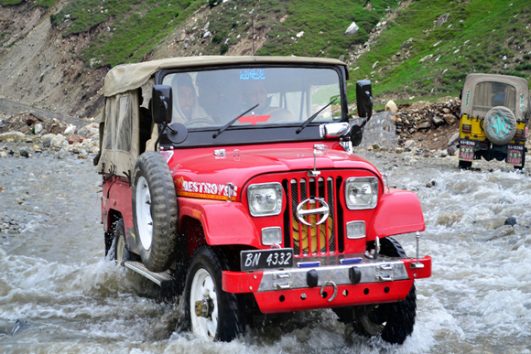
The road to Balkot was once only fit for four wheel drive vehicles and SUVs. Visitors had to leave their cars in Balkot and tent jeeps for onwards journey. Today, the road is suitable for all kinds of vehicles up to Naran and Jalkhad, adding a little flavor of the old days. However, there are a couple of galciers that have not yet lost their snowpack in the early tourist season, and are difficult to cross with cars. From mid-june onwards the road to Naran is open for regular cars, vans and coaches. If you are driving, we recommend you to always start your journey in the early morning to safely reach your destination well before dark. For those who prefer public transport, travel by air conditioned bus service is an option. There are several bus companies with regular direct service to Balakot from Lahore and Rawalpindi. Visitors with their private cars shall have no issues travelling when they start their jouney in the early morning ZED Tours offers transport services that can be booked whether it is a car, van or a coach.
Visiting Spots in Kaghan Valley
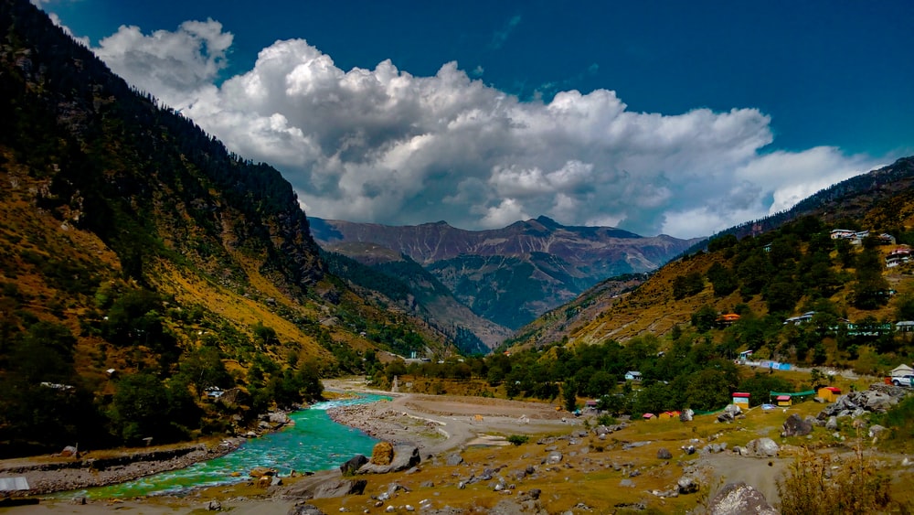
Balakot
At a distance of 72 kms from Abottabad, Balakot is the gateway of the Kaghan Valley. It takes about one and half hours to reach Balakot from Abottabad, passing through the busy town of Mansehra. Balakot is a small town located on the bank of kunhar River and hold tremendously rich historic significance. A famous battle was fought here between the Sikh Army and Muslim Freedom Fighters in 1831.
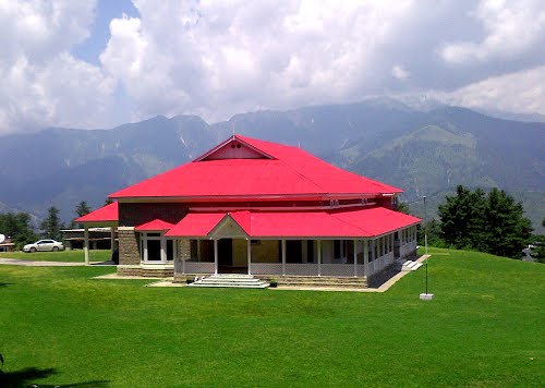
Shogran
Shogran, one of the most beautiful plateaus in the valley, is situated 34 KMs from Balakot via Kewai. To reach this quaint place, take a side road on the right after passing through Kewai. From here it is a steep 7 kms to Shogran. You will find a metal road and normal cars & vans can reach here easily. Surrounded by the thick pine forests and with an altitude of 7,747 feet, the summer climate of Shogran is a very mild and pleasant. While your visit here, you must also visit the famous Shogra’s Forest Rest House. Kaghan Valley’s highest peaks, such as Musa Ka Musalla (4419 m), Makra (3885 m) and Malika Parbat (5290 m) are visible from here.
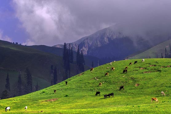
Siri Paya
A wonderful excursion from Shogran is a visit to Sri Paye and Paya. A rugged 8 kms road climbs 2300 feet through thick pine forest to the top of Paya ridge, a lush green meadow with spectacular view of Malika Parbat. Once can also see varieties of wild alpine flowers on the rolling grassy slopes of Paya. Visitors can then hike up Makra (Spider) Mountain, which is 12743 feet from sea level. From Paya, trekkers must climb around 2000 feet to reach the top of Makra, on the border between Kaghan Valley and Azad Kashmir’s Neelum Valley. This mountain climb is recommended only for those who have previous experience in high altitude hiking, are familiar with the mountain wilderness safety rules and are properly equipped. Siri is small lake on the way to Paya. One can stop here for a while for rest and refreshment. This place also offers a small forest rest house and some tea stalls. Travelers enjoy sipping the hot tea “chai” while soaking in the majestic views of snow covered mountains reflected in the lake.
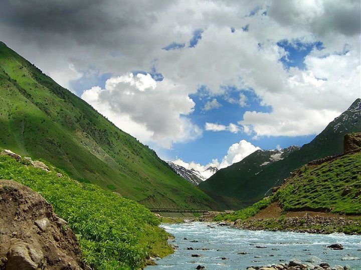
Paras
Back on the main road to Nara, 6 kms further north of Kewai is the small town of Paras. The main bazaar consists of some shops and road side restaurants and is worth shopping at, to have a cup of tea or simple lunch. Public transport usually makes a tea stop here while going to Naran. There are also orchards of apple and apricot in the nearby village.
Sharan
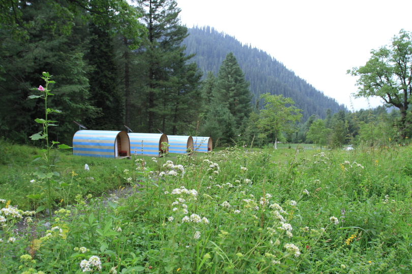
Paras is the starting point for a detour to Sharan which his at a distance of 16 kms from paras and is accessible only by jeep. This place is famous for its lush green meadows and thick pine forest. This area is not on the main tourist route but is ideal for nature and adventure lovers. From here, one ca go on an exciting two or three days trekking and camping trip to the top of Musa Ka Musala and onwards to the Siran Valley. There is a forest rest house and a youth hostel with a capacity of 20 beds at Sharan to provide accommodation facilities to the adventure travelers. This place is also ideal for camping.
Musa Ka Musala – 4076 m
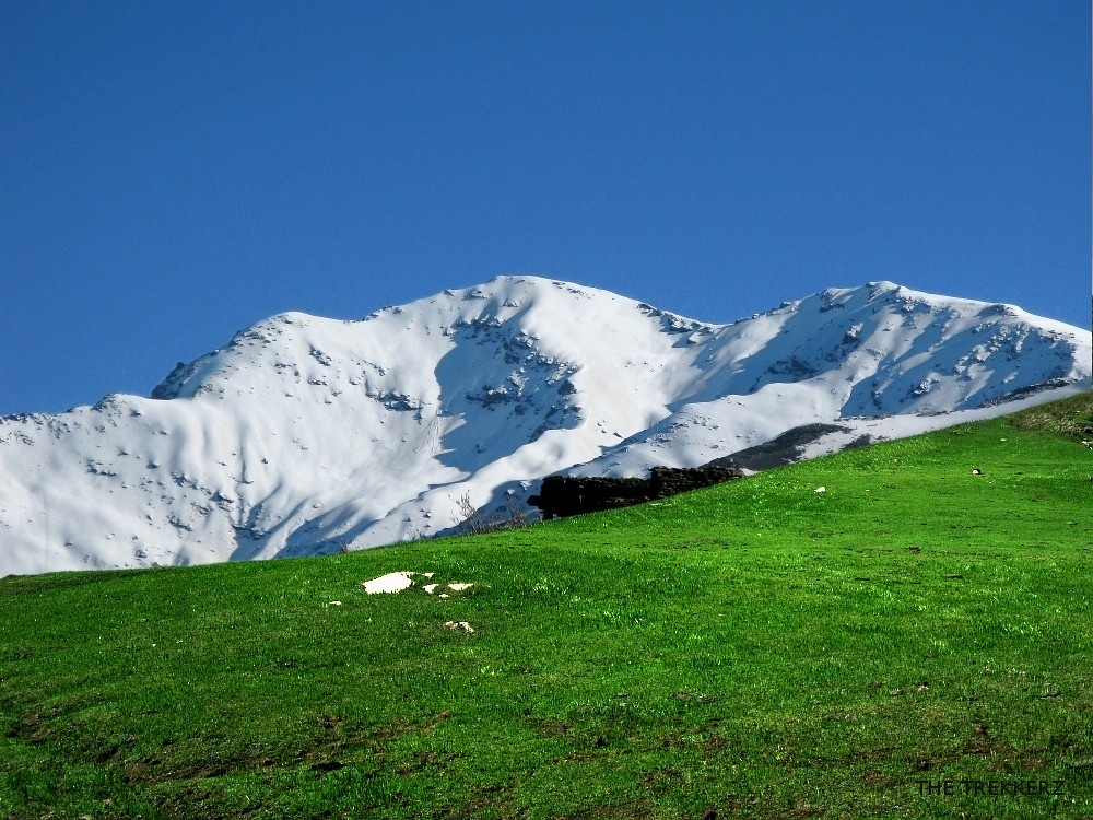
Musa Ka Musala (Prayer Mat of Moses) is situated between Kaghan and Siran Valleys. This peak is visible from several places in Kaghan Valley. It is a trekking peak and has an approach from both Valleys. On a trek between Kund and Sharan via Shaddal Gali once can climb this flat top mountain.
Shinu
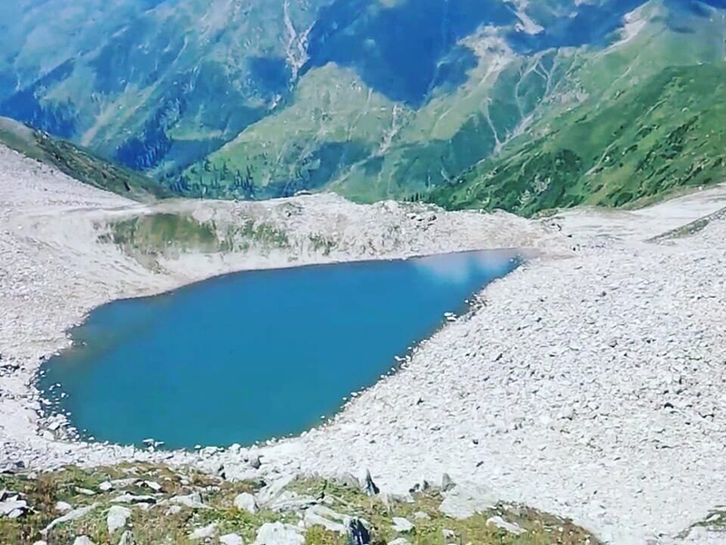
A little ahead of Paras, Shinu is a place which has a trout hatchery. This is one of the oldest hatcheries of Khyber Pakhtunkhwa Province Fisheries Department. It is from this hatchery that brown trout and rainbow trout are stocked in upper Kunhar River, Lake Saiful Muluk, Lulusar and Dudipat Sar.
Jared & Mahandari
The next two settlements on the main road to Naran are Jared and Mahandari. Jared used to be famous because of its furniture and handicrafts made of walnut wood. The KPK government operates a handicrafts development center here. Some private shops also sell traditional style carved furniture and handmade decoration items. Mahandari is 46 kms from Balakot. The Manoer Nala joins river Kunhar at this place. It is a starting point for trekking route to Kuch Gali and Manoor Peak. Mahandari has a small bazaar with shops selling items of daily use, in addition to some restaurants and two budget hotels.
Khanian
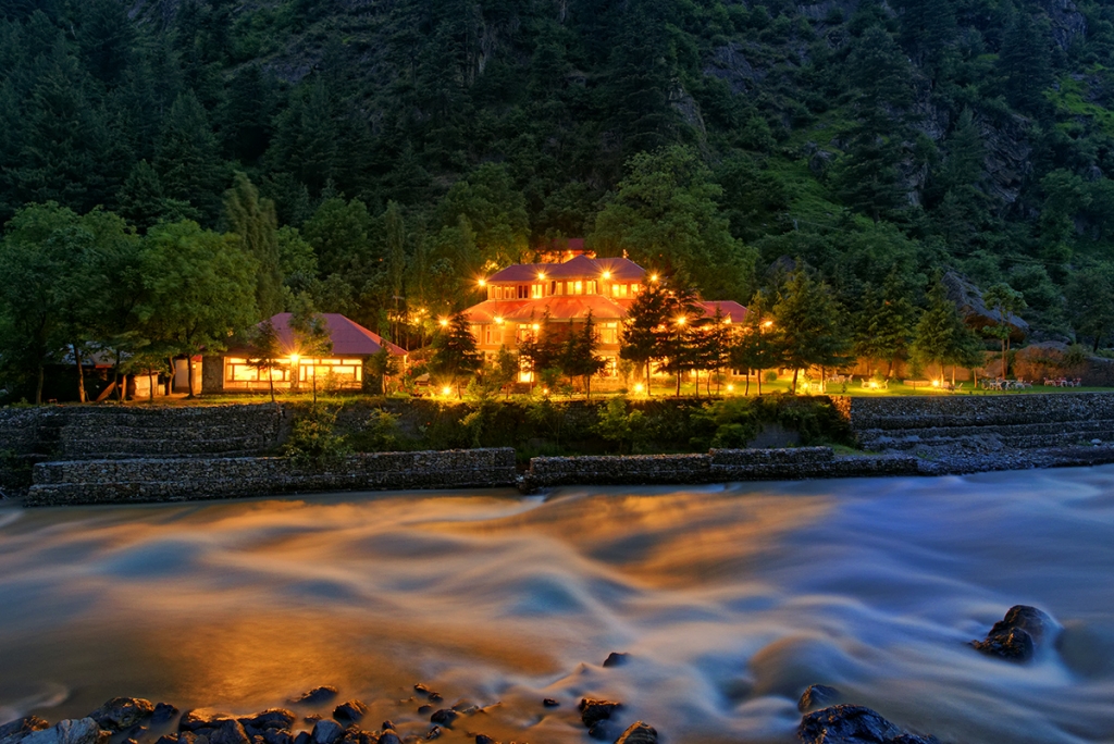
Khanian is small but an attractive & peaceful village on the right bank of Kunhar River. It is the starting point for a trip to Kamal Ban Forest and Dana Meadows. A ten kms jeep track winds up hillside to picturesque Dana Meadows which is located at an altitude of 10,000 feet with a view of a number of snow covered peaks over 15,000 feet. It take an hour to reach here by jeep, and about three hours on foot. Another jeep track to the south of Khanian climbs up the ridge to the Kamal Ban Forest. The forest rest house at Kamal Ban is at an altitude of 6500 feet and was built in 1924, being one of the oldest in the area. The Pine Park Hotel operates a small but comfortable hotel in Khanian. Two other budget hotels are also located on the main road.
Kaghan
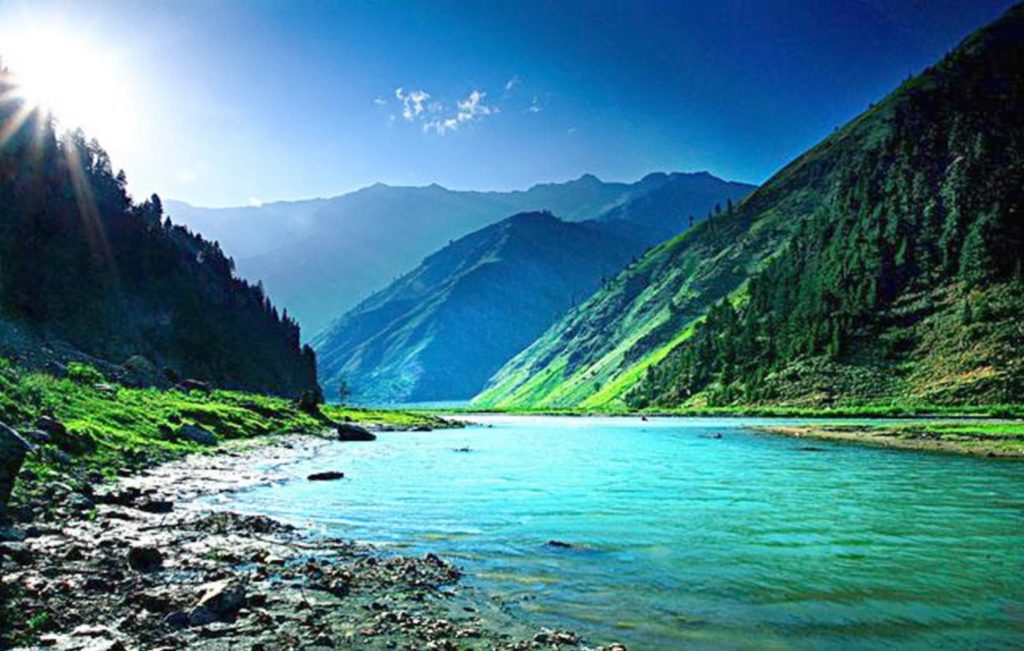
Kaghan is a town which gives the valley its name. it is a permanent settlement and is located about 61 kms from Balakot. There are fee budget hotels & restaurants which provide accommodation and meals to visitors passing through, on their way to Naraan.
Naraan
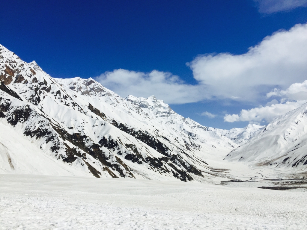
At 7,888 feet above sea level, Naran is the main center of tourism in the Kaghan Valley. It is located 85 kms from Balakot. The town is situated on the bank of Kunhar River at a point where the valley widens. The river is also quite smooth here and ideal from trout fishing and easy grade rafting. With more than 100 hotel of different categories and a 60 bed capacity youth hostel, Naran is without doubt the main base for most tourists. Naran comes alive only in summer starting late May, when the snow melts and the road to Naran is accessible. In winter, majority of the population descends to warmer climates of Balkot and Mansehra. Most visitors stay in Naran for a few days while enjoying the various day excursions to Lake Saiful Muluk, Lalazar, Lake Lulusar and Babusar Pass.
Lake Saif Ul Muluk
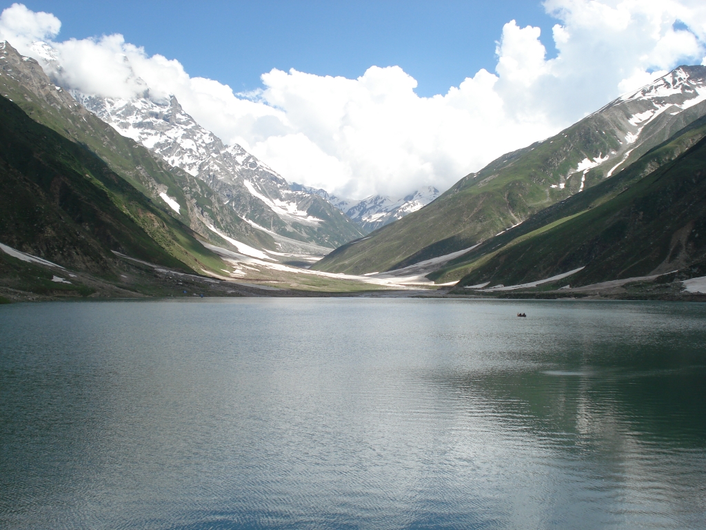
No trip to Kaghan Valley is complete without a visit to the legendary Lake Saif Ul Muluk. The lake is named after Prince Saif-Ul-Muluk, who fell in love with a fairy from the mountains. At 10,500 feet, Lake Saif-ul-muluk is surrounded by impressive snow clad mountains and crowned by the summit of Malika Parbat (Queen of the Mountains). The highest peak in Kaghan Valley, the majestic Malika Parbat has a height of 5291 meters. There are several ways to reach the lake. Along the side of the valley to the east of Naran, a 10 kms track leads through a picturesque valley. - Jeep: a jeep can be rented from the bazaar and driven up in one hour. - Walk to a small glacier about 3 kms up and hire a pony for the trip. - Walking the entire way is an option and take about 3 hours for the 8kms trek.
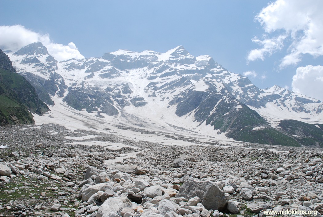
Malika Parbat – 5291 m (17,354 feet)
Malika Parbat (Queen of the Mountains) is the highest mountain of the Kaghan Valley. The best view of this peak is from Lake Saif Ul Muluk when on a clear day the pointed peak is mirrored in its deep blue waters. Although it is a low height peak compared to the gigantic mountains of Karakorum but It is considered a difficult peak due to its steep summit and several hanging glaciers on upper slopes. It is still famous as a virgin peak as no one has climbed it to date. The easiest approach to its base camp is from the Lake Saif Ul Muluk side.
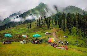
Lalazar
Lalazar is an extremely picturesque pasture at an elevation of 3200m. it is linked to Naran by a 21 kms jeep track via Batakundi. Lalazar is a scenic spot with thick forests of pine. The grassy mountain sloped are full of wild flowers. A rest house and two small hotels provide food and drink to day visitors from Naran. Limited accommodation facilities are available here. Adventurers prefer to camp at Lalazar as a base to ready themselves for the trek to Lake Saif Ul Muluk via Hans Gali.
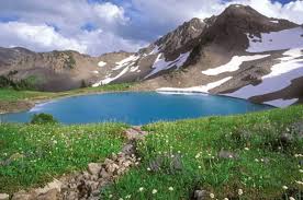
Ansoo Lake
The Ansoo Lake is one of the panoramic & beautiful lakes of Pakistan. It is located near Malika Parbat in the Himayalan range in Kaghan Valley. The name “Ansoo” comes from its Tear-like shape. The lake is said to have been discovered in 1993 by Pakistan Airforce pilots who were flying at a relatively low altitude. Earlier the lake was not even known to the locals. It can be reached by a difficult yet adventurous trek from Saif-Ul-Muluk Lake, Naran.
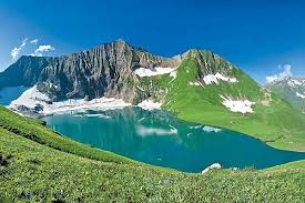
Supat Valley
There are many side valleys in Kohistan, which are excellent for hikers, trekkers, mountain bikers, fishing enthusiasts, photographers and nature lovers. One such area is Supat Valley that lies in the Himalayan Mountain series, parallel to Kaghan Valley in Hazra Kohistan with its boundaries touching both Kaghan and Babusar Top. Tourism Corporation of KhyberPakhtunkhwa is taking initiative to open up Supat Valley under Eco-Tourism Project for the promotion of Adventure Tourism in Khyber Pakhtunkhwa. After the town of Narara, a track turns to the left across the Kunhar River taking you to the village of Sohch (8400ft) which is the starting point of Supat. From Sohch, a 5 to 6 hours’ trek takes you to Domel (9900 ft) and then on to Supat. On the way and in Supat you will see glaciers, waterfalls, lakes, wildlife, fields of wild flowers, cultivated land pastures and dense forests. The area is also well known for its gemstones, especially Peridot. There are two beautiful lakes in Supat, the Srikatha and the Maheen Lakes. In September 2008, Trout Fish were introduced into the Maheen Lake.
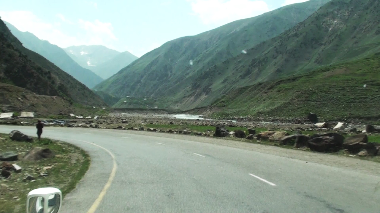
Naran to Babursar Pass
For the thrilling experience of Babusar Pass, one must wait until mid-July, when the road from Jalkhad onwards become accessible. With the height of 13,687 feet (4,173 meters) Babusar Pass creates the border between the Kaghan Valley and Distt. Chilas of Gilgit Baltistan. From the top of Babusar Pass one may behold a panoramic view of snow covered peaks and sweeping valleys. The British built a horse track across the Babusar Pass in 1892 to give access to Gilgit. Before this, the only route to Gilgit was from Srinagar across the Burzil Pass. Until the building of Karakoram Highway, the track was the main route to Chilas and Gilgit. The first village on the road to Babusar Pass is Batkundi, 16 kms beyond Naran. At Batakundi Toursim Department recently built a big youth hostel and a complex of cottages to accommodate visiting tourist families and youth from all over Pakistan. It is a fertile area and is famous for the cultivation of good quality seeds of potatoes and peas which are distributed across Pakistan. A 5 kms jeep track from here leads right up to the Lalazaar pasture. Continuing on the main road, one will reach Burawal after another 8 kms situated at the confluence of Joar Nala and the River Kunhar. At the confluence of Noori Nala and River Kunhar, Jalkahd is the next stop after covering another 11 km. few years ago, a jeep road was constructed to link Kaghan Valley with Neelum Valley in Azad Kashmir via Noori Pass.
Follow Us